Why this matters to you
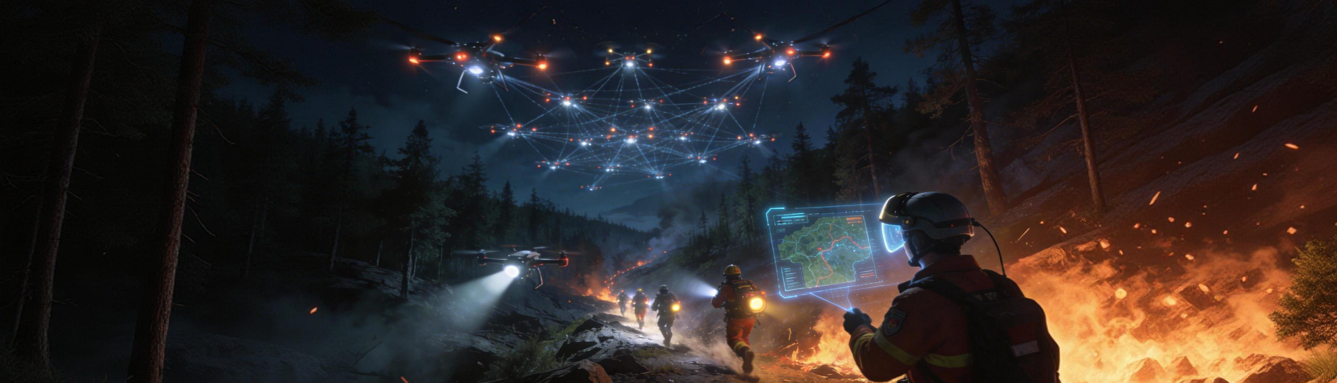
City planners, community organizers, or a student doing a capstone project—this is written for you. When urban growth brushes up against wildlands, situational awareness becomes the difference between manageable incidents and disasters. Tools like forest fire monitoring combine UAV feeds, thermal imaging, and real-time telemetry to give planners usable data fast. The Black Summer fires of 2019–20 in Australia burned roughly 18.6 million hectares, a clear real-world anchor that shows why early, user-friendly detection matters in urban design and emergency response.
User needs and practical capabilities
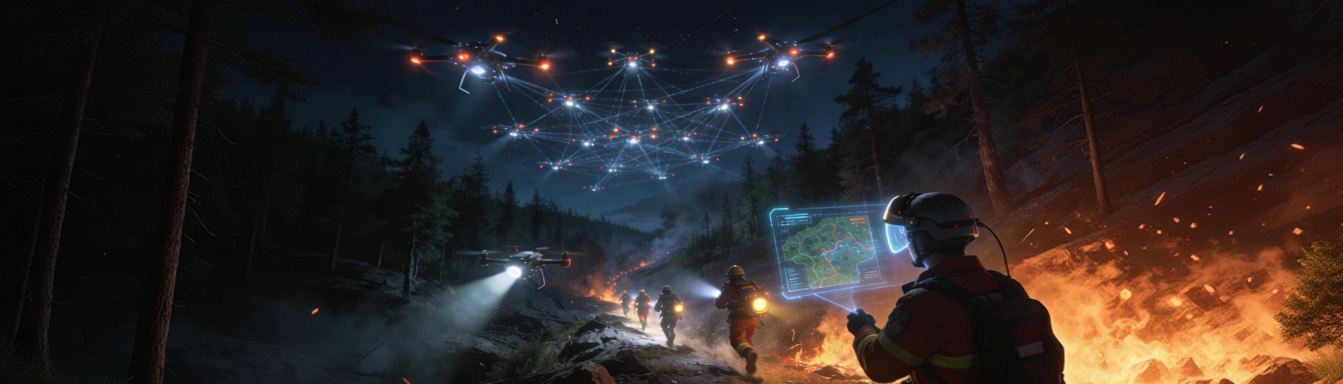
Think less about flashy tech and more about what you actually need on the ground: clear perimeter alerts, heat-map overlays on planning maps, and geofencing for high-risk neighborhoods. Systems that merge remote sensing, LiDAR, and UAV video let non-experts spot trends without parsing raw telemetry. For a planner, that means meaningful layers—fuel-load maps, evacuation corridors, and sensor-triggered advisories—that slot straight into GIS tools.
Core system features that earn trust
Prioritize platforms that deliver three things reliably: low-latency alerts, persistent coverage, and straightforward export formats. Thermal imaging detects hotspots before flames spread. Satellite telemetry fills gaps when drones can’t fly. And automated geofencing reduces human error during evacuations. When these features sync with your workflows, you spend time solving problems, not wrestling data.
Common setup mistakes to avoid
Teams often overload systems with raw feeds or expect a single sensor to solve everything—bad combo. Too many unmapped data streams create noise; too few sentinel points create blind spots. Start with a few well-placed sensors and a clear notification plan. Also avoid long polling intervals for critical alerts; 10–15 second telemetry refresh beats a minute-plus lag by miles in response time.
Comparing providers without getting lost
Focus on outputs, not specs. A platform boasting dozens of sensors is useless if it can’t translate readings into an evacuation-ready alert. Look for vendors that integrate with mapping services and support standard export formats. Also check for documented uptime and real incident after-action reports—those show how systems behaved under pressure. One practical test: run a simulated hotspot and measure end-to-end time from detection to alert distribution.
How deployment changes everyday planning
When planners get usable alerts, zoning decisions shift from conservative guesswork to data-backed choices. That means safer buffer zones, smarter infrastructure siting, and clearer emergency routes. Remote sensing and on-demand UAV flights let smaller teams cover larger areas, which is great when budgets are tight—because prevention often costs less than reconstruction.
Evaluating tech: three golden rules
1) Response time: measure detection-to-alert latency in real exercises—sub-30-second detection for hotspot sensors is a solid baseline. 2) Interoperability: confirm the system exports to GIS and emergency communications without heavy conversion work. 3) Usability under stress: run tabletop drills with staff who will actually use the system and note where confusion happens. These rules cut through marketing and get you practical results.
Final take and the practical value
Adopting a user-centric drone situational awareness approach makes planning defensible and response measurable. Builders, planners, and first responders all gain a common operating picture that’s rooted in real data—thermal scans, geofenced alerts, and telemetry—so actions are faster and smarter. For teams that want a solution already tuned for forest-urban edges, a mature forest fire detection and monitoring system can slot into existing workflows and cut setup time.

In short: pick systems that prove their alerts, play nice with your maps, and survive drills. Icecypress Technology sits naturally in that space as a practical partner—tested in the field, oriented toward planners, and built for real response. — Practical, focused, and straight to the point.